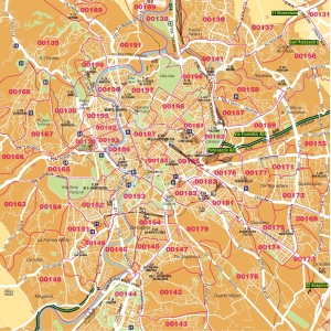
Currently the city of Rome is divided into 20 municipalities representing the administrative division of the territory.
From October 3, 2010 Rome is a particular entity becoming a special territorial autonomy that takes the name of Roma Capitale.
Under the new legal status of Roma Capitale, the city can not have more than 15 municipalities, whose boundaries will be known shortly.
The territory is large. Rome covers an area of 1,285.31 km ² and is the largest town in Italy and one of the largest among the capitals of Europe. Rome governs an area that is large in size, roughly, as the sum of the territories of Milan, Naples, Turin, Palermo, Genoa, Bologna, Florence, Bari, Catania, and is superior to that of municipalities such as New York: 1,214.4 km ²; Moscow: 1,081 sq km, Berlin 892 km ²; Madrid: 607 km ², Paris: 105.4 km ²
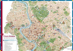
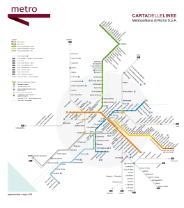
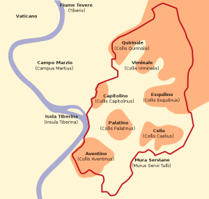
This is why if you are a visitor or tourist is more than needed a map to know your location within the city.
If you plan to visit Rome take a look at the different maps of Rome posted below and enjoy your stay.


